Skip to content
Preparedness School

HomeMonitoring

Monitoring center

Earthquakes, floods, cyclones, volcanoes and conflicts around the world, with data from official agencies. Tap a point on the map or an event in the list to follow it.

This is not an alert system. If your phone or your city sounds an alert, act without waiting to see anything here.

Use Ctrl + scroll to zoom
Earthquakes · color by depth, size by magnitude
0–70 km70–300 kmover 300 km
Tectonic plate boundaries
Magnitude
Period
Order

    Borders: Natural Earth (public domain). Plates: Bird (2003), data by Hugo Ahlenius, Nordpil and Peter Bird.

    Earthquakes

    How to read an earthquake

    A report includes three numbers: magnitude, depth and time. Magnitude tells you how much energy the fault released. What happens on your street also depends on distance, depth and the ground under your home.

    Magnitude scale
    • 8 or moreGreatSevere damage for hundreds of kilometers around.~1 per year
    • 7 – 7.9MajorSevere damage over wide areas.~15 per year
    • 6 – 6.9StrongCan be destructive in populated areas.~134 per year
    • 5 – 5.9ModerateDamages weak buildings near the epicenter.~1,300 per year
    • 4 – 4.9LightFelt; rarely causes damage.~13,000 per year

    Estimated annual worldwide frequency: USGS, Earthquake Facts & Statistics.

    Each step in magnitude releases about 32 times more energy. A magnitude 7 earthquake releases about a thousand times more energy than a magnitude 5. That is why an M7 isn't "a little stronger" than an M6: it is in another category.

    0 to 70 km

    Shallow

    Does the most damage near the epicenter. On the map, red.

    70 to 300 km

    Intermediate

    Felt over wider areas. On the map, yellow.

    Over 300 km

    Deep

    Rarely does damage, but can be felt far away. On the map, white.

    7,5

    Venezuela, June 24, 2026

    Two earthquakes of magnitude 7.5 and 7.2 on the same day, centered in Yaracuy. As of June 30 there were 1,943 dead and 10,571 injured: the country's deadliest earthquake in a century. After a strong earthquake another can follow: don't go back into a damaged building.

    Official toll as of June 30, via Infobae.

    USGS PAGER alert

    Minutes after a strong earthquake, the USGS estimates casualties and losses. The color you see on an earthquake's card comes from here.

    • GreenNo likely casualtiesLosses under 1 million dollars.0 deaths
    • YellowLocal or regional responseLosses of 1 to 100 million dollars.1 – 99
    • OrangeNational responseLosses of 100 to 1,000 million dollars.100 – 999
    • RedInternational responseLosses over 1 billion dollars.1,000 or more

    Source: USGS PAGER. The higher of the two levels (casualties or losses) is used.

    Now on the monitor

    Earthquake early warning

    United States. The USGS ShakeAlert system warns in California, Oregon and Washington through phones and apps. Alaska has had federal funding since 2026; it isn't running yet.

    Japan. The Japan Meteorological Agency issues earthquake early warnings to the public on TV, radio and phones.

    Android phones. Google offers earthquake alerts in many countries. They aren't official and can fail, but they can give you seconds.

    Most countries have no official earthquake alert to phones. If you feel the earthquake, act without waiting for any warning.

    What to do in an earthquake
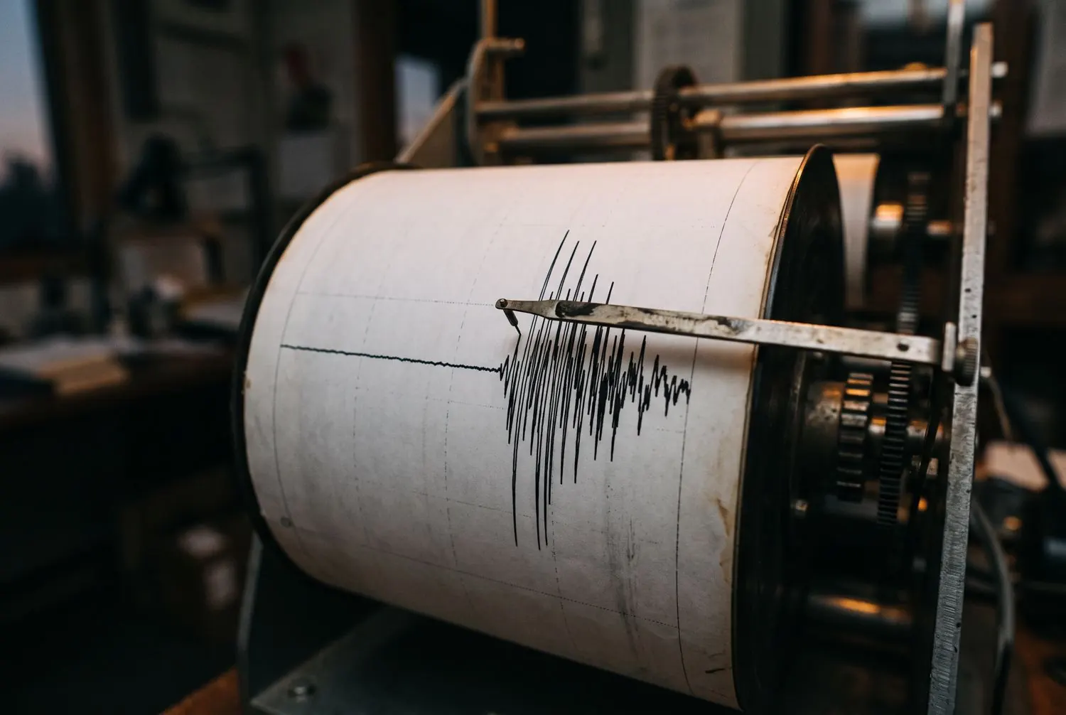
    A seismograph needle tracing a strong earthquake on paper
    Illustrative image
    Floods

    Moving water is deceptive

    Floods kill more through decisions than through surprise: crossing a street with a current or driving on. Learn the difference between a watch and a warning, and how little water it takes to sweep you away.

    Watch or warning (US National Weather Service)
    Flood Watch

    Watch

    Flooding is possible. Get ready and watch for warnings.

    Flood Warning

    Warning

    Flooding is happening or is imminent. Act.

    Flash Flood Warning

    Flash flood warning

    Move to high ground now. Don't wait for instructions.

    Flash Flood Emergency

    Emergency

    Severe threat to life. It is the highest level issued.

    How little water it takes
    15 cm(6 in) of moving water can knock down an adult.
    30 cm(1 ft) can float and carry away most cars.
    60 cm(2 ft) carry away pickups and SUVs.

    Source: US National Weather Service (NWS), "Turn Around, Don't Drown" campaign.

    More than half of flood deaths in the US happen inside a vehicle that drove into a flooded road. If you see water crossing the road, turn around. You don't know how deep it is or whether the pavement is still there.

    GDACS · humanitarian impact alert
    • GreenLow impactHandled by the affected country.
    • OrangeMedium impactMay need international assistance.
    • RedHigh impactLikely to need international assistance.

    The Global Disaster Alert and Coordination System, from the UN and the European Commission, uses these colors for earthquakes, cyclones, floods and volcanoes.

    Color-coded weather warnings
    • YellowBe awarePotentially dangerous weather. Stay informed.
    • OrangeBe preparedDangerous weather. Damage and casualties are possible.
    • RedTake actionVery dangerous weather. Follow orders from the authorities.

    This is the Meteoalarm scale, the network of European weather services; many countries use a similar one. Check your national weather service's scale.

    What to do in a flood
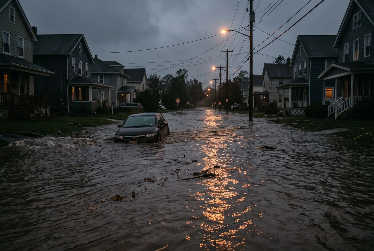
    A flooded residential street with a car stopped in the water
    Illustrative image
    Hurricanes and storms

    The wind is scary, the water kills

    You can see a hurricane coming days in advance. That gives you time to prepare, but it only helps if you know how to read the category, the forecast cone and the difference between a watch and a warning.

    Saffir-Simpson scale · sustained wind
    • Cat. 5CatastrophicMost homes destroyed; areas uninhabitable for weeks or months.157 mph or more
    • Cat. 4CatastrophicSevere damage to well-built homes; power outages lasting weeks.130–156 mph
    • Cat. 3Devastating · major hurricaneRoofs torn off, trees and poles down.111–129 mph
    • Cat. 2Extensive damagePower outages from days to weeks.96–110 mph
    • Cat. 1DamageTo roofs, trees and power lines.74–95 mph
    • StormTropical stormHeavy rain and flooding.39–73 mph

    Source: US National Hurricane Center (NHC). The scale measures only wind.

    9/10

    Deaths are caused by water

    In the US, between 1963 and 2012, almost 9 out of 10 cyclone deaths were due to water: storm surge (49%), rain flooding (27%) and surf (6%). A low category with a lot of rain can kill more than a high one.

    Source: Rappaport (2014), Bulletin of the American Meteorological Society, with NHC data.

    Hurricane Watch

    Hurricane watch

    Hurricane conditions are possible. Issued about 48 hours in advance.

    Hurricane Warning

    Hurricane warning

    Hurricane conditions are expected. Issued about 36 hours in advance.

    The cone

    It isn't the size

    The cone shows where the center may go. Rain, wind and storm surge reach outside it.

    One phenomenon, three names

    It is a hurricane in the Atlantic and the northeastern Pacific, a typhoon in the northwestern Pacific and a cyclone in the Indian Ocean and South Pacific. The World Meteorological Organization assigns official warnings for each basin to regional centers.

    • AtlanticNational Hurricane CenterMiami. Also the northeastern Pacific.
    • NW PacificJapan Meteorological AgencyTokyo. Typhoons in the northwestern Pacific.
    • N IndianIndia Meteorological DepartmentNew Delhi. Bay of Bengal and Arabian Sea.
    • SW IndianMétéo-FranceRéunion. From East Africa to Madagascar.
    • S PacificFiji Meteorological ServiceNadi. With Australia and New Zealand in their areas.

    Source: World Meteorological Organization (WMO), regional specialized meteorological centers.

    Seasons

    Atlantic and Caribbean: June 1 to November 30.

    Eastern Pacific: May 15 to November 30.

    Northwestern Pacific: typhoons can occur all year; most arrive between July and October.

    Southern Hemisphere: November to April.

    What to do in a hurricane
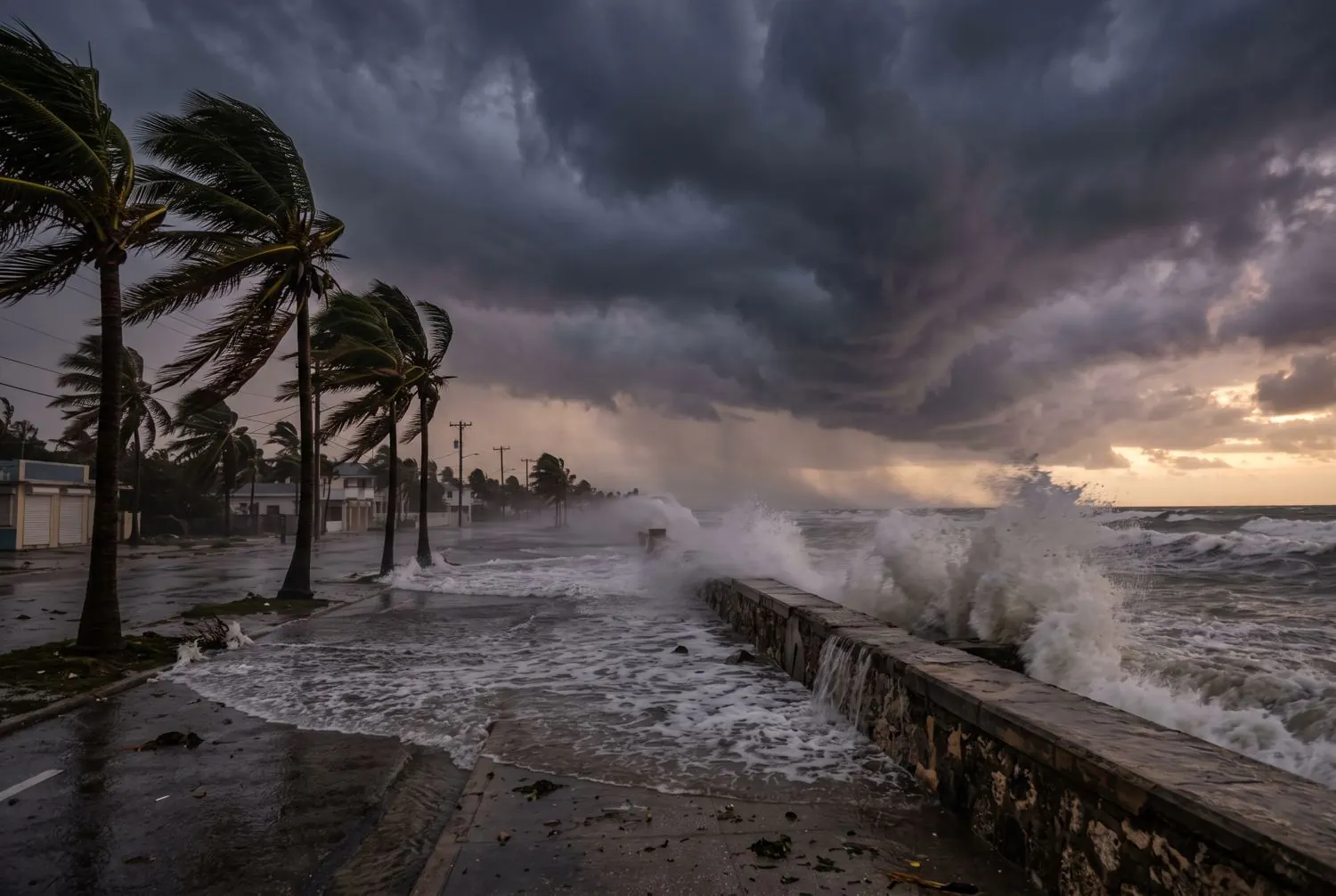
    A tropical coast with palm trees bent by the wind and waves over a seawall
    Illustrative image
    Volcanic activity

    Each country measures differently

    There is no global volcanic alert scale for the public: a "yellow" in one country doesn't mean the same as in another. Before you panic or relax over a color, check which scale the issuing authority uses.

    Official scales compared
    Aviation · ICAOUnited States · USGSJapan · JMA
    GreenVolcano in normal state, no eruption.NormalBackground activity, no eruption.Level 1Active volcano; watch for changes.
    YellowSigns of unrest above normal.AdvisoryElevated activity above normal.Level 2Stay away from the crater.
    OrangeHigh unrest, or an eruption with little ash.WatchEscalating activity or a minor eruption.Level 3Stay away from the volcano.
    RedEruption imminent or under way, with lots of ash.WarningDangerous eruption under way or imminent.Levels 4 and 5Prepare to evacuate, and evacuate.

    The aviation color code is the only international one, and it measures the danger to aircraft, not on the ground. Definitions from the World Organization of Volcano Observatories.

    5 000+

    lives saved at Pinatubo

    In June 1991, volcanologists from the Philippines and the US saw the eruption coming and tens of thousands of people were evacuated. On June 15 came one of the largest eruptions of the 20th century. The forecasts saved at least 5,000 lives; fewer than 300 people died, mostly because roofs collapsed under ash soaked by rain.

    Source: USGS, fact sheet 115-97. A forecast only saves lives if people follow it.

    Ash isn't smoke: it is pulverized rock and glass. It irritates eyes and lungs, damages engines and, when wet, is so heavy that about 10 cm (4 in) can collapse light roofs. If ash is falling, stay inside, wear an N95 mask and clear the roof carefully.

    Large-scale war

    Stay informed without panicking

    No system can predict a war. This panel gathers headlines from established outlets in several countries and helps you tell apart the signs that really should change your preparedness.

    Signs that do change your preparedness
    • 01State of emergency or warDeclared in your country or a neighboring one.
    • 02Border or airspace closuresEspecially for military reasons.
    • 03Reservists mobilizedOr unusual call-ups.
    • 04Attacks on infrastructurePower, water, communications or refineries.
    • 05Limits on withdrawals or fuelOfficial rationing or account freezes.
    • 06Official shelter alertDon't wait any longer: follow the instruction.

    For the first five: check your supplies, charge batteries and review your plan for leaving the country.

    How to check a headline in one minute
    1. Who publishes it? An outlet with a name, author and date, not a forwarded chain message.
    2. Do two outlets from different countries confirm it? If only one source says it, wait.
    3. Does an authority say it? A government, military or international body, by name.
    4. Is the video from today? Many viral videos are from other years or other countries.
    85 s

    Doomsday Clock

    In January 2026, the Bulletin of the Atomic Scientists set it at 85 seconds to midnight, the closest in its history. It is an expert assessment, not a prediction.

    Source: Bulletin of the Atomic Scientists.

    How we choose the headlines. We read UN News and outlets from the US, the UK, Germany and France, filter by words like attack, missile, mobilization or nuclear, remove duplicates and show those from the last 30 days.

    This panel never turns red on its own. There is no honest way to calculate the risk of a war from headlines.

    What to do in an armed conflict
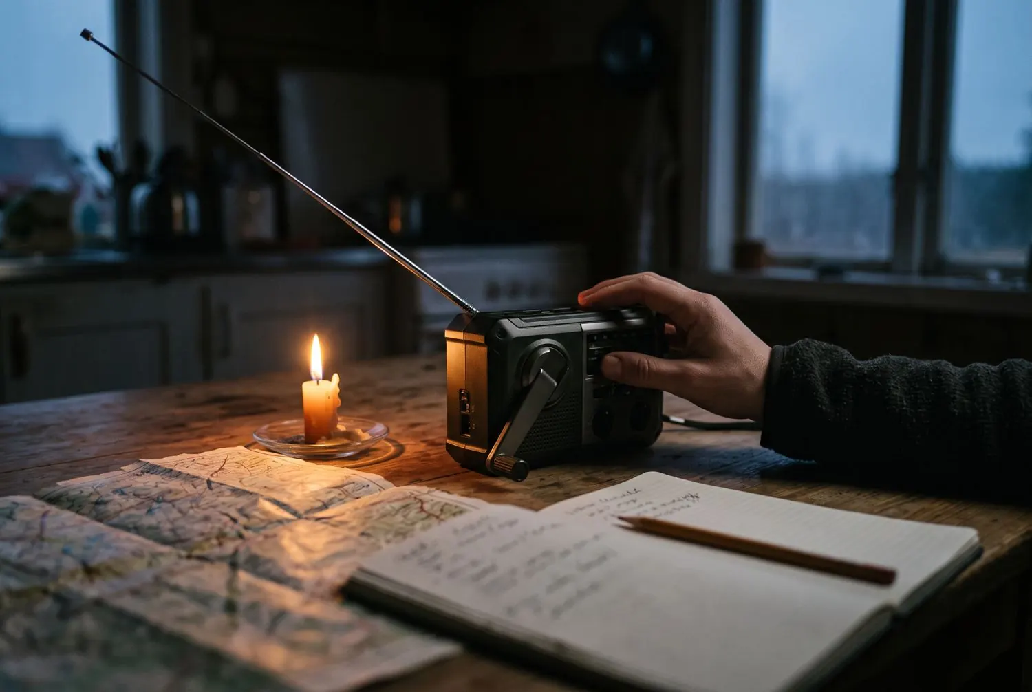
    Hand-crank radio, map, notebook and candle on a table
    Illustrative image
    Alerts on your phone

    Turn them on today, in two minutes

    Official alerts arrive without an app, data or credit, but only if your phone is up to date and the option is turned on. Check it now, not during the emergency.

    On any phone

    Do it today

    Turn on all emergency alerts. Cell broadcast alerts arrive without an app, data or credit, but only if the phone is up to date and the option is on.

    iPhone: Settings › Notifications › Government Alerts
    Android: Settings › Safety & emergency › Wireless emergency alerts

    The exact path varies by brand and system version.

    European Union

    Mandatory

    Public alerts to phones in every EU country. Since June 2022, the European Electronic Communications Code requires every country to send emergency alerts to mobile phones. Many use cell broadcast under the name EU-Alert.

    Check in Settings that emergency alerts are turned on.

    Source: Directive (EU) 2018/1972, article 110

    The world

    With gaps

    Only 119 countries, 60%, report having a multi-hazard early warning system. The Americas and the Caribbean have the lowest coverage (51%). The UN wants everyone covered by 2027. If your country has no phone alerts, on Android you can turn on Google's earthquake alerts: they aren't official, but they can give you seconds.

    Android: Settings › Safety & emergency › Earthquake alerts

    Source: WMO, 2025 global report